Rosemary Webb
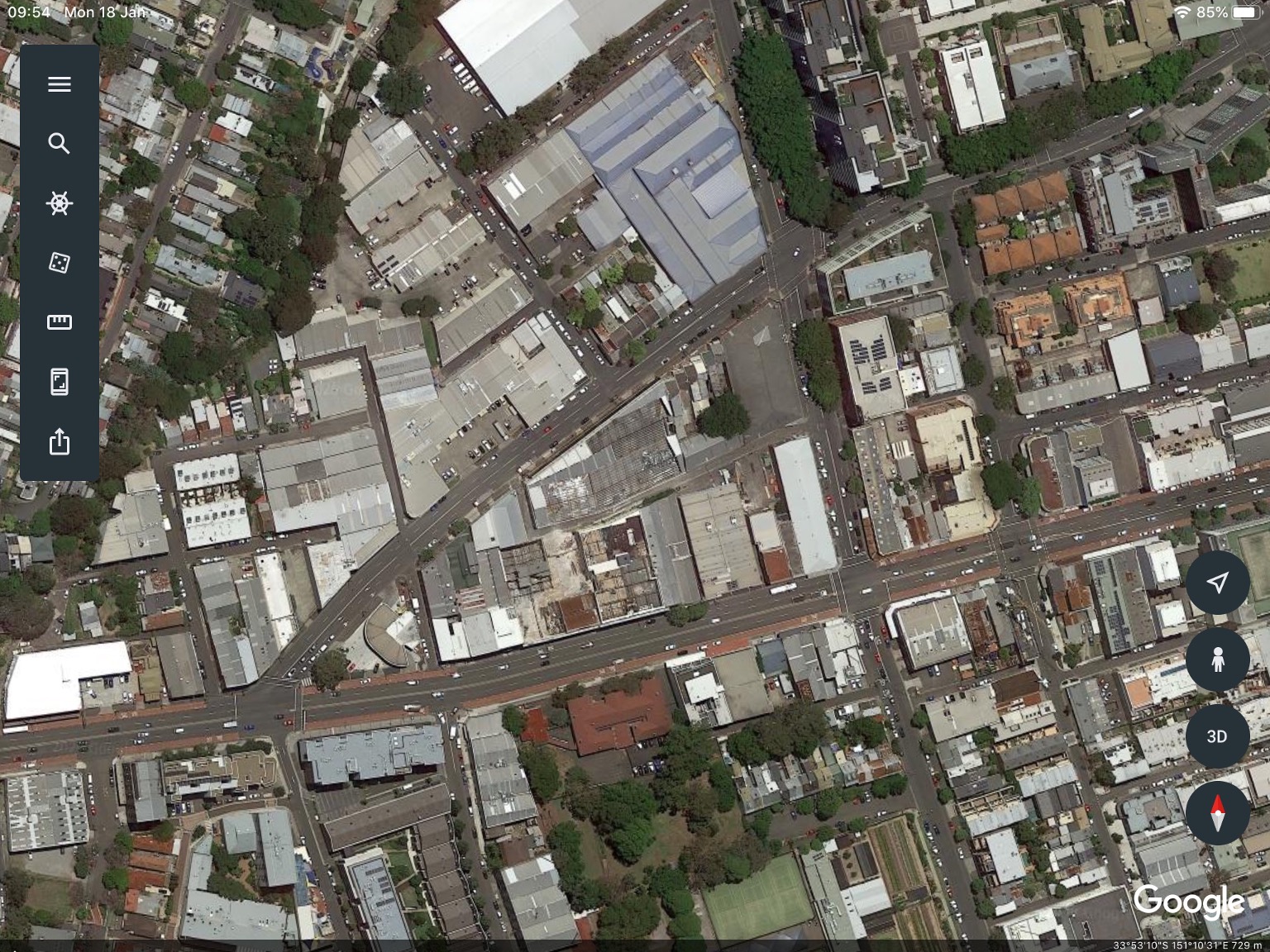
In October 2017 Labour History Sydney (the Sydney Branch of the Australian Society for the Study of Labour History) made a Submission of Objection to WestConnex M4/M5 Link EIS (Environmental Impact Statement) on the impact on Sydney’s labour and industrial heritage of the mega-WestConnex road project. The text of this submission follows. We did this because it was clear that consideration of Sydney’s built industrial history had, and has, no place in the urban carve-up that is WestConnex. Historical searches on Google Earth – for example in St Peters, on Campbell Street and Euston Road – show what has already gone.
Our submission focused on the Pyrmont Bridge Road site – within a triangle formed by Bridge Road, Parramatta Road and Mallett Street. The narrow Bignell Lane, fronted by early 20th-century brick factories and offices, ran the length of the triangle. I walked the lane and photographed many of those buildings. Some of these photos appear in this issue of Hummer.
Despite community protests, work here eventually began in early December 2018, with Bignell Lane quickly blocked to vehicles and pedestrian traffic. Most of the buildings recorded have been demolished leaving a construction wasteland. The Bignell Lane precinct, as I saw it in 2017, is no more. Precinct is being demolished elsewhere too: on Lilyfield Road in Rozelle, the long-established timber yard, Swadlings, pre-emptively relocated to St Peters. Last year’s Parliamentary Inquiry found flaws in process and consultation but nonetheless did not recommend halting construction. Sydney is doomed to live with this monster. The fabric of Sydney’s inner and outer west is already irrevocably changed by the #planningfail that is WestConnex.
Change is rapid. For updates, links and observations, visit the various activist Facebook sites which monitor and alert locals to developments in specific areas: for example, the Newtown Facebook group ‘Newtown Residents Against WestConnex’. General updates are shared across residents’ action pages.
A final word: given that the pace of so-called urban renewal accelerates with shifts in approvals regulation, please use your camera to document the city. Not only buildings but entire streetscapes are going. Let’s at least record other buildings and precincts before they too become rubble.
March 2019
Photos Showing Some Areas Devastated by WestConnex
The key to all of the Bignell Lane photographs, looking west from Mallett St, is the wall along the right-hand side of the lane (behind Bridge Rd); the wall is now deteriorated but intact.

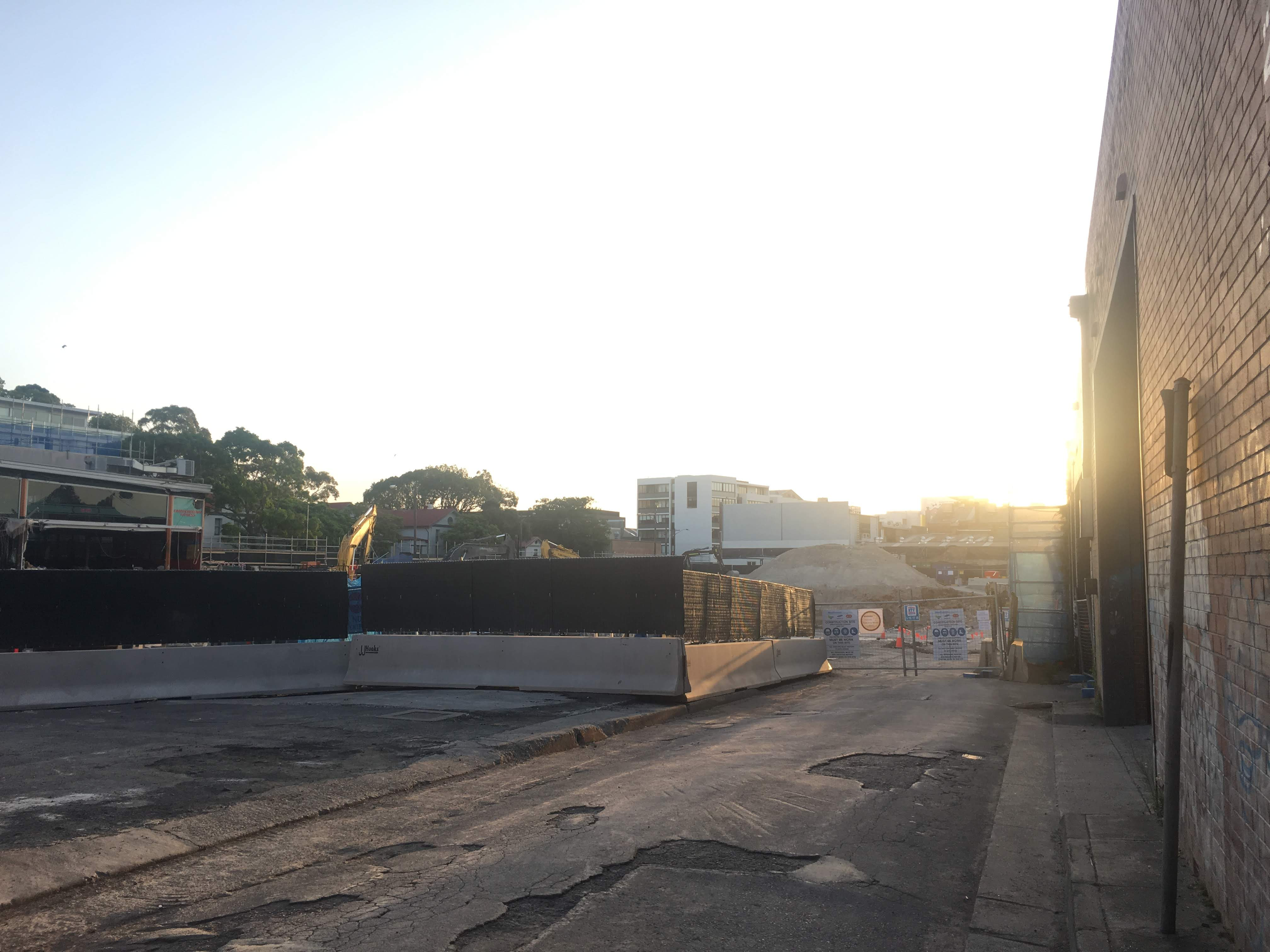
All photos courtesy Rosemary Webb
March, 2019